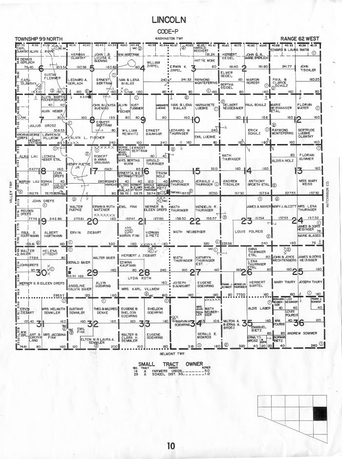
Plat Map. Lincoln Township, Douglas County, South Dakota. Date unknown, before 1960.
Map
Object ID:
2018.33Description:
I like Plat maps but is tough to find an old one that will not cost a lot.My grandfather Andrew (Andy) Sommer land is section 36. He had 240 acres on this plat at this time.
Notice the Saint Marys Cemetery (where the original Dakota City was located) is 2 miles north marked by a cross. Many of our ancestor's are buried there.